Ice -
 |
| Icy Rivulets on Back Porch Screen |
National Weather Service issued an ominous emergency warning today.
http://www.wrh.noaa.gov/sew/
URGENT - WINTER WEATHER MESSAGE
NATIONAL WEATHER SERVICE SEATTLE WA
1039 AM PST THU JAN 19 2012

.A WARM FRONT WILL CONTINUE TO SPREAD RAIN OVER PORTIONS OF
WESTERN WASHINGTON THROUGH EARLY THIS AFTERNOON. TEMPERATURES
WILL REMAIN BELOW FREEZING WITH FREEZING RAIN EXPECTED AT THE
SURFACE. AREAS FARTHER NORTH INCLUDING EVERETT...ADMIRALTY INLET
AND EASTERN STRAIT OF JUAN DE FUCA WILL SEE SNOW AT TIMES.
PRECIPITATION WILL EASE THIS AFTERNOON. TEMPERATURES WILL
GRADUALLY MODERATE TONIGHT...RISING ABOVE FREEZING. ANOTHER STRONG
SYSTEM WILL BRING HEAVY SNOW TO THE MOUNTAINS ON FRIDAY.

WAZ504-505-508-509-511-512-192200-
/O.CON.KSEW.IS.W.0001.000000T0000Z-120119T2200Z/
SOUTHWEST INTERIOR-EAST PUGET SOUND LOWLANDS-
SEATTLE/BREMERTON AREA-TACOMA AREA-HOOD CANAL AREA-
LOWER CHEHALIS VALLEY AREA-
1039 AM PST THU JAN 19 2012

...ICE STORM WARNING REMAINS IN EFFECT UNTIL 2 PM PST THIS
AFTERNOON..

* SOME AFFECTED LOCATIONS...SEATTLE...OLYMPIA...TACOMA..
  BREMERTON AND BELLEVUE.
But, on the fun side..........
Snowmen -  |
| Double Snow People in Paramount Park Meadow. About 4-5" Wednesday. |
 |
| Littles Creek in Paramount Park |
 |
| Upper Pond at Paramount Park with Fabulous Winter Style |
 |
| Upper Wetland area has streaks of "peat color". It is a true wetland that does it's job of retaining and cleaning huge amounts of groundwater. |
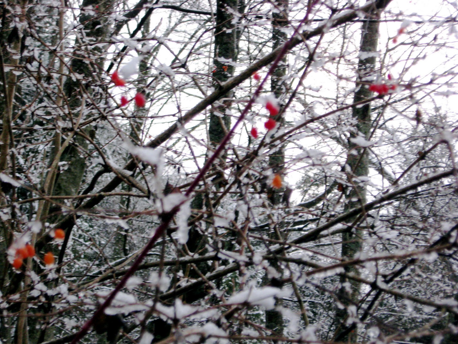 |
| "High Bush Cranberry" in Paramount Park wetland walk area. |


 Posts
Posts

